
The Cotswold Way: Leg 12
North Nibley to Wortley: 6.48 miles
Sunday 18th August, 10am
Moving time: 2:24:29
Elevation gain: 889 ft
Steps: 14,960

Our route today.

After meeting at the finish in Wortley, we shared lifts to the start in North Nibley and gathered in the sunshine outside the pub ready to start our twelfth leg. There were lots of other walkers and groups around this time!

This leg starts by the bus top in the centre of North Nibley and we head up the B4060 road a little before turning right onto the bridleway leading up to the Tyndale monument.

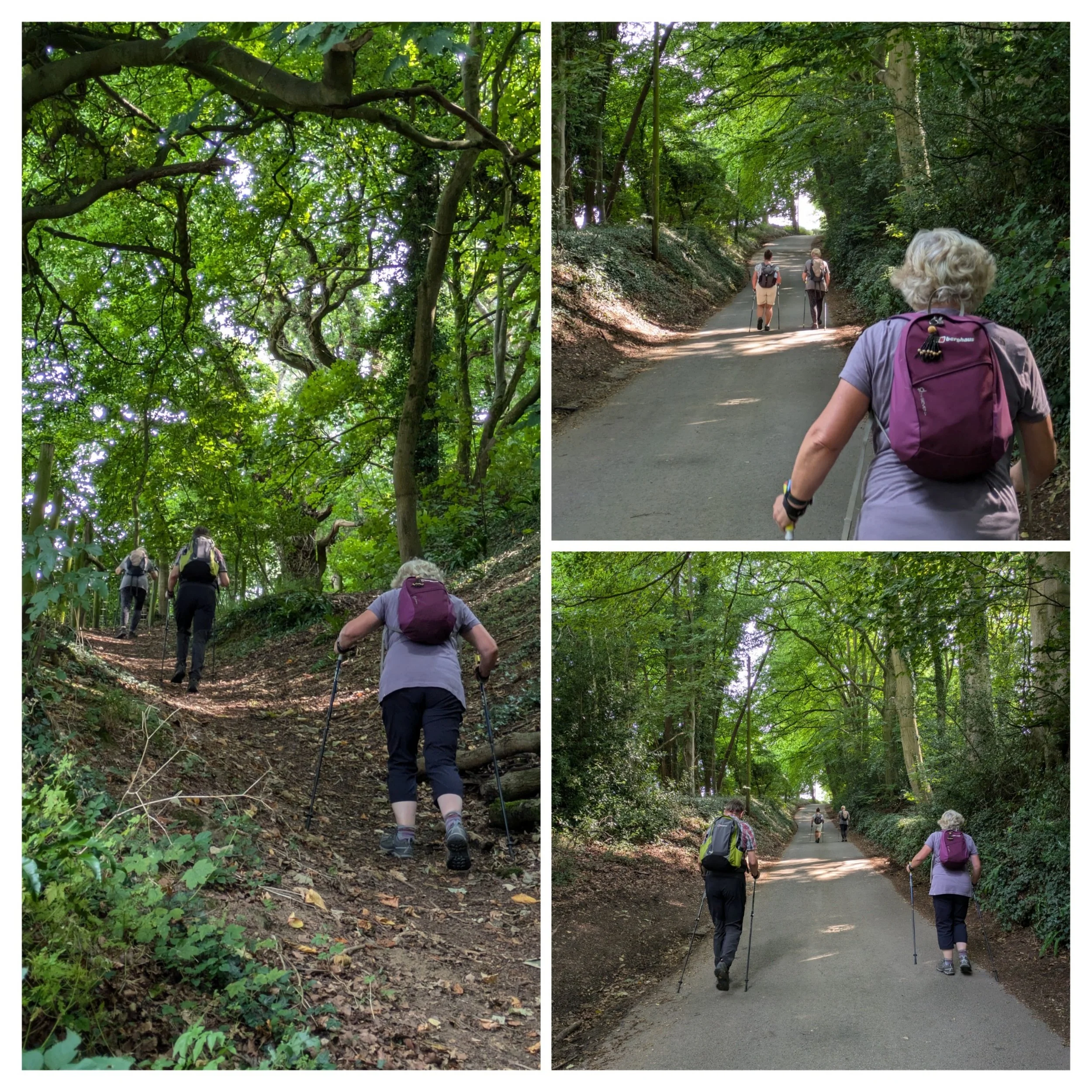
The route up to the Tyndale Monument is through gorgeous Beech woodland and winds steeply up, which necessitates pausing to get our heart rates back to normal. Pushing through with our poles helps enourmously!

What beautiful views we reach when we summit the hill and walk towards the monument. The Tyndale Monument was built in 1866 on Nibley Knoll, it commemorates the writer, William Tyndale (he may have lived nearby) He translated the New Testament into English in 1525. In 1536 he was martyred in Flanders. The Grade II listed tower is 34 metres tall and there is a spiral staircase of 121 steps which leads to the top with views across the Severn Estuary.

From the monument we continue around the top of the hill. The views from the top of Nibley Knoll are incredible and Norbert finds himself a very simplistic Topograph explaining what you can see.

We begin our descent down from Nibley Knoll through more shady woodland and field edges before coming out to an open area with more great views across to Wotton-under-Edge.

Ahead of us on Wotton Hill is a small copse of trees enclosed by a wall, which has an extensive history!

Great views across surrounding countryside and a plaque explaining the copse of trees significance. Originally planted in 1815 to commemorate the victory at the Battle of Waterloo those trees were subsequently used for a bonfire, more trees were planted in 1887 to celebrate the Jubilee of the late Queen Victoria and the current trees were interplanted in 1952, the plaque itself was renewed on the Queens Jubilee in 2022. Talk about getting your moneys worth!

Continuing downhill towards Wotton-under-Edge. We reach the B4060, taking a left we carefully cross the road to reach Bradley Street and walk on down into Wotton-under-Edge.

The historic town of Wotton-under-Edge sits within the Cotswolds Area of Natural Beauty, in the undiscovered south Cotswolds. The ‘edge’ refers to the Cotswold escarpment, under which the town nestles, overlooking the Severn valley. The Cotswold Way winds its way through the town.

Norbert finds himself some friends in a shop window, there's some interesting individual shops here, beautiful Cotswold buildings and stunning hanging baskets.

Perry and Dawes Almshouses and Chapel. The oldest parts of these Almshouses, fronting Church Street and the Chapel were built in 1638. Funded by a legacy in the will of Hugh Perry (1630), an Alderman and Mercer of the City of London who died in 1634. Another local benefactor, Thomas Dawes, left property for the benefit of the poor of the town which, following agreement and confirmation by a decree in Chancery in 1722, was sold and used to lease a site, ‘for a hospital for six poor people or families.’
The buildings have been extensively refurbished and renovated over the years and now provide nine apartments over Ground and First Floors, mainly for single occupation. They are unfurnished dwellings which have been designed with the needs of older people. The Trustees give preference to those applicants living in the Parish and who have family nearby to give support in an emergency.

We continue on Church street to reach the church of St Mary the Virgin and pass through the well kept grounds.

We paused here by a handy bench for a snack and that pause enabled an appreciation of the beautiful surroundings including the elaborate clock on the side of the church and a short time to lap up the warm sunshine.
One of the oldest churches in this area, St Mary's was consecrated on 19 August 1283 by Bishop of Worcester, Godfrey Giffard. It is believed that most of the church as it is today was completed in 1325.
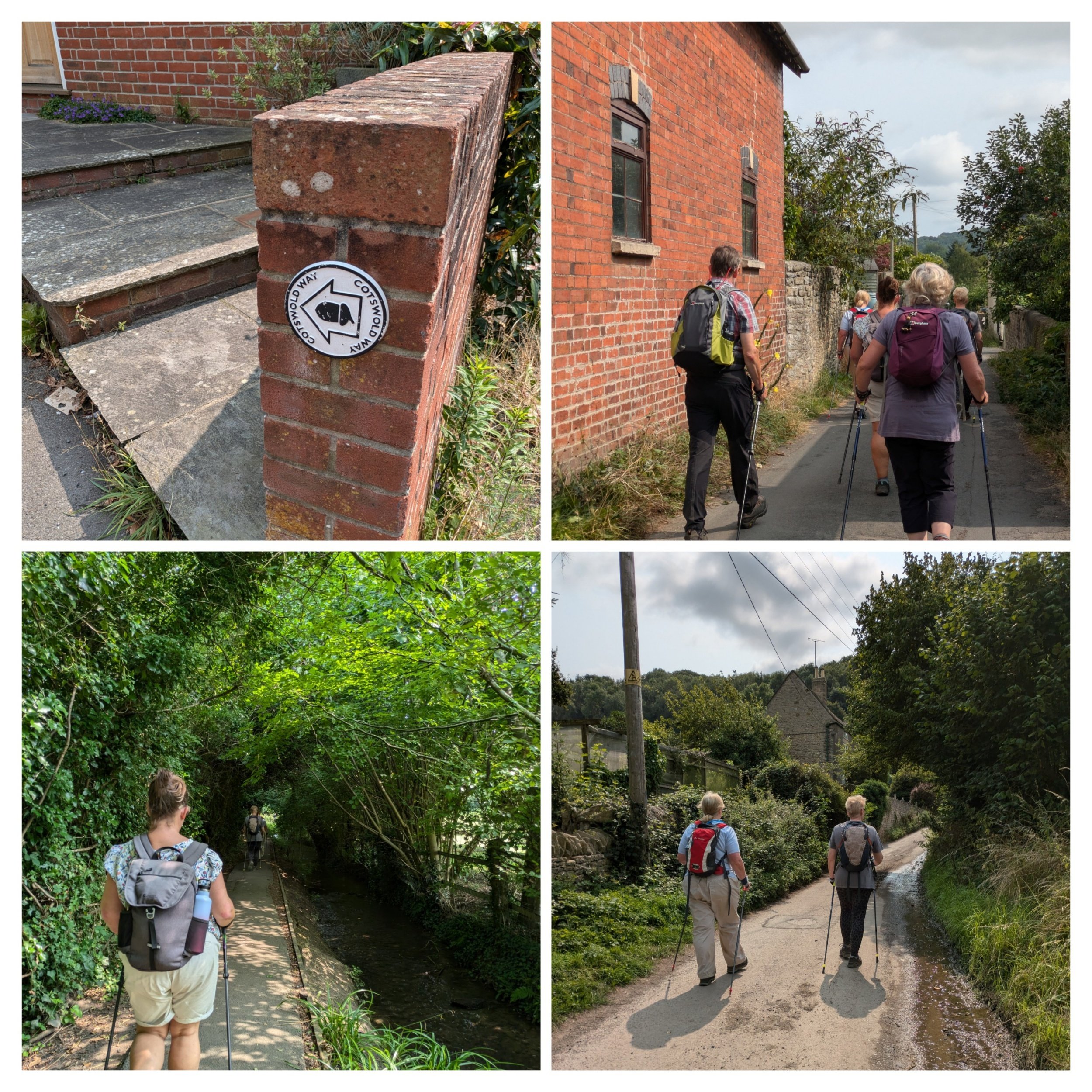
Leaving the church grounds we turn right and follow the road until we shortly turn right onto Valley Road, following the footpath we then take the left fork to walk alongside a small stream,
We pass a picnic area and immediately turn right onto a lane quickly turning left onto another path, here we continue on paths and lanes which climb quite steeply, this comes out onto another lane where we turn right to continue climbing up Blackquarries Hill. The Cotswold Way path then turns sharp right along a track.

Views across Blackquarries Hill where we decide to stop for our lunch.

A well-earned rest before setting off again.

We continue around the hill top and then begin to descend down a wide stony track.

This turns into a much narrower, steeper rocky path which looks like a river runs through and down it in the winter months! Tricky to navigate in some places.

Walking down Wortley Hill where the banks are really steep, we're not sure what the trees are rooted to! The path eventually widens out and we can see our cars ready and waiting for us, by Elmtree Farm.

Happy Nordic Walkers at the finish for today! Fantastic day. Only 4 more legs to go now!