The Cotswold Way: Leg 3
Stanway to Winchcombe
Sunday 26th November, 10am. 9.98km according to OS Map App route planning
Moving time: Strava didn’t record or I forgot to press start!
Elevation gain: 741 ft.
14.777 steps.
8 Cotswold Way Explorers
On a misty Sunday in late November eight explorers met at a damp car park in Winchcombe ready to set off on the next leg of the adventure. Driving the short ten minute drive to Stanway where we ended leg 3, we parked up, pulled our boots and waterproofs on and set off.
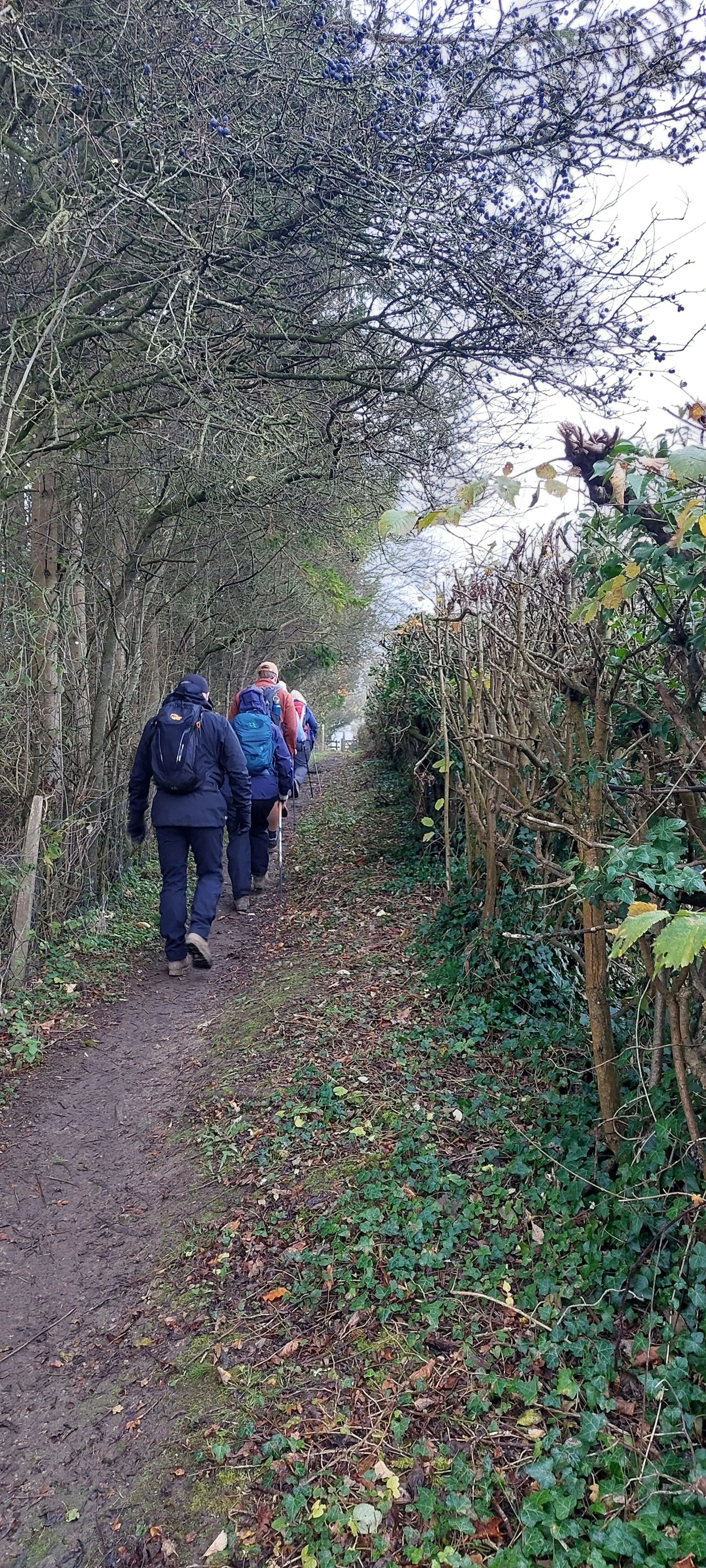
Retracing our steps along the road we then crossed the road and walked along a tree and hedge lined path to a gate.
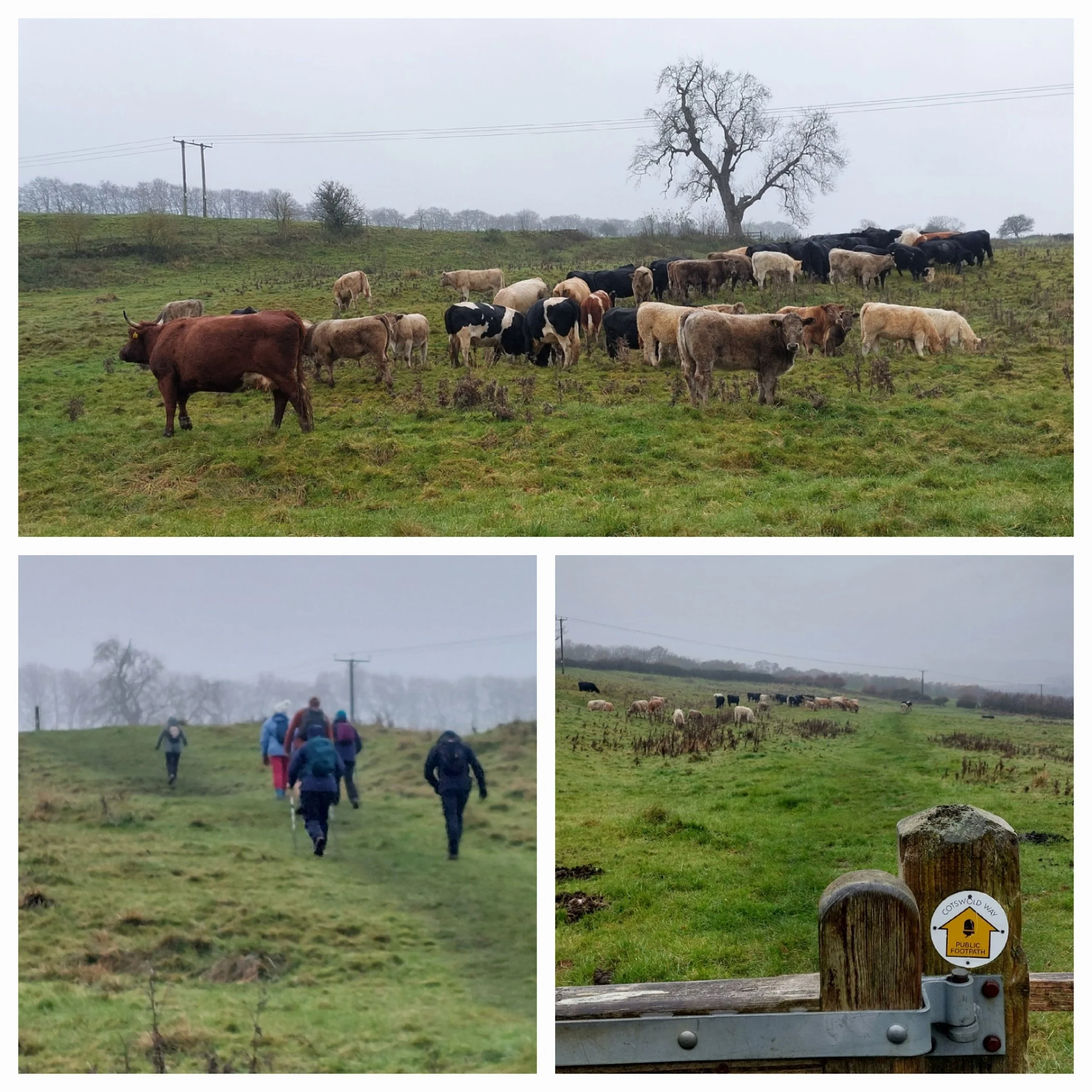
Beyond the gate the path opened up into a wider field with ridges all the way across, (possibly the result of medieval ploughing practices) dotted all over with sheep. There was a beautiful avenue of trees looking very stark against the murky sky.
This is the way!
The path came out onto the road in a small hamlet called Wood Stanway with beautiful Cotswold stone buildings, at least they added some colour on a bleak day!
Wood Stanway
Sue was particularly happy once we were through the gate!
From Wood Stanway we walked on up through Glebe Farm and then the ascent really began! Plus a field full of cattle including a massive bull - there was some speedy Nordic Walking through that particular field! Walking towards Lower Coscombe the majority of this leg’s elevation is in this climb. It is such a shame that the views were really compromised by the mist!
Handy steps up the hill
The ascent was relatively manageable as it didn’t go straight up and there were natural resting spots.
Rest stop near the top, admiring the view.
The plaque on the bench reads “ In Loving memory of Pinky Dickins who lived here for 26 happy years with her horses, dogs and family.” I imagine it’s a great comfort to many walkers reaching the top of the hill!
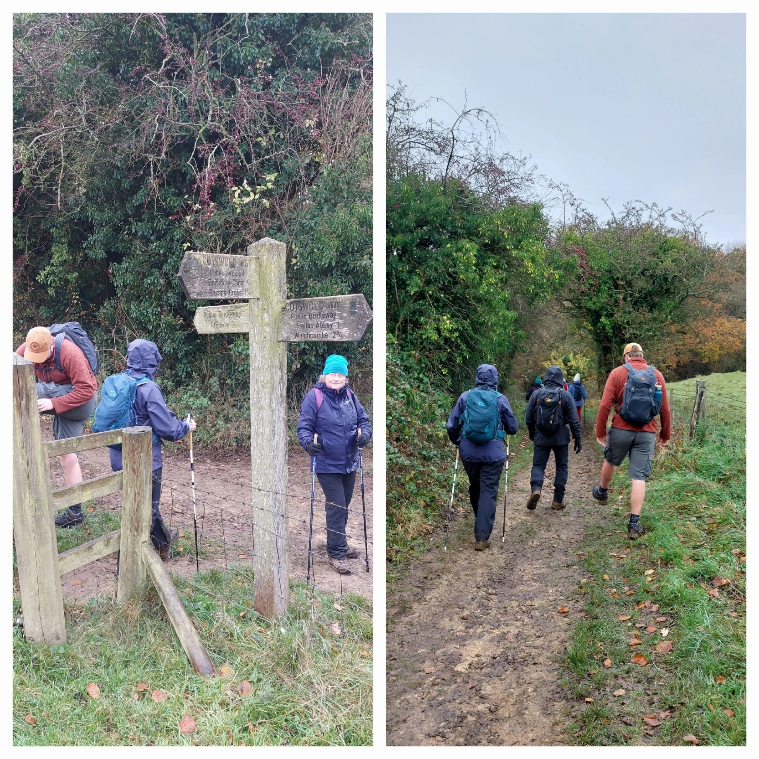
Interesting Bridleway sign…are they all in km’s?
After a good rest at the top of the hill, we reach the junction with the B4077 and take an immediate right turn onto a wide straight bridleway. Hailes Abbey is 3 km from here - good to know! Interesting that the distances are in km’s rather than miles - got me wondering if they always are on bridleways? After a long straight stretch, the path turns right and we stop here in a slightly more sheltered spot for a snack and a drink, helping out some passing walkers with directions. From there the path soon opens up to a field edge and passes a small copse at Coscombe Corner, it was getting extremely windy with icy rain and our hoods all went up and were tightened around our faces. The rain was stinging!
Beckbury Camp Hill-fort
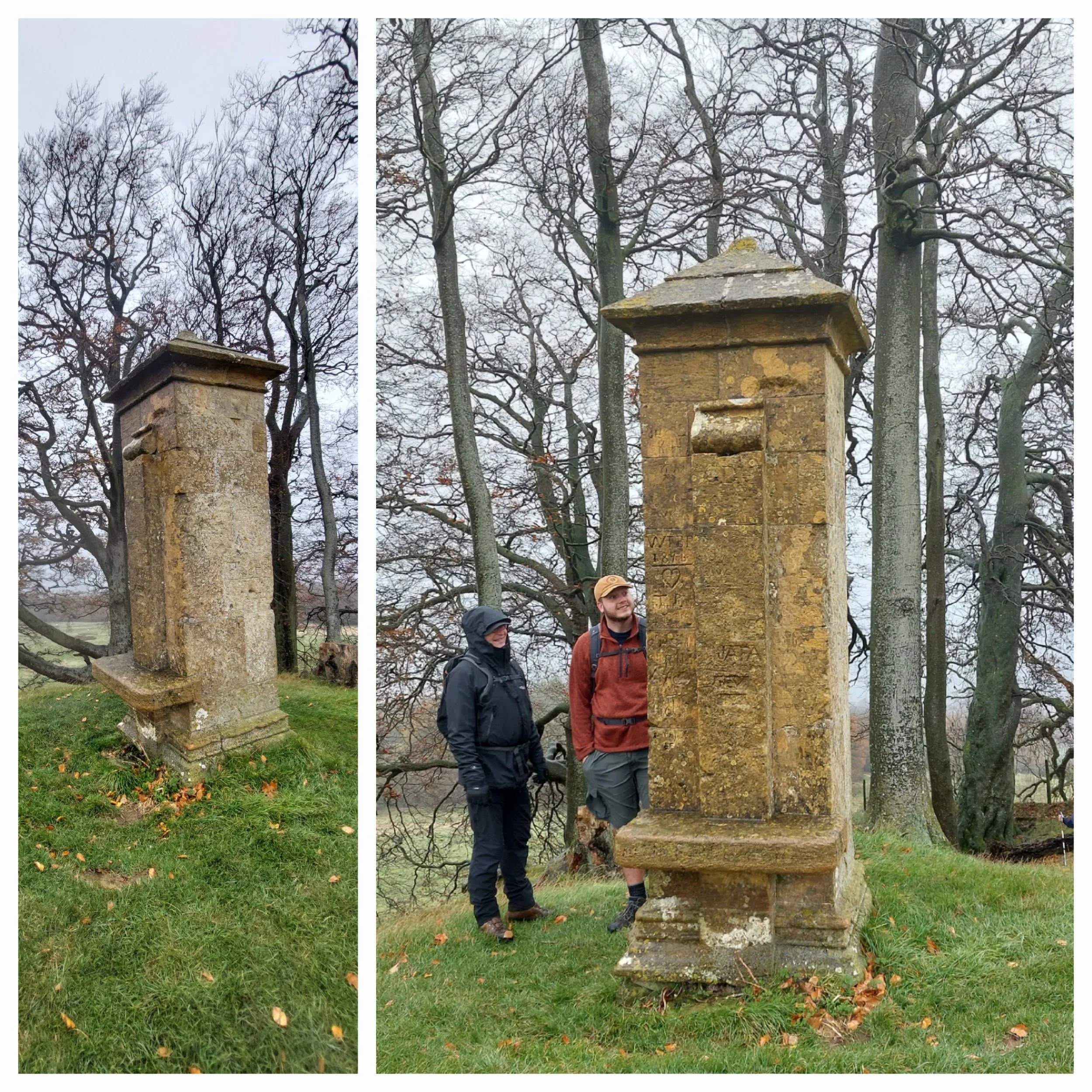
We passed Beckbury Camp and Iron Age Hill Fort, a rectangular single bank and ditch hillfort of about 4 acres. In one corner there is a clump of beech trees called Cromwell’s Clump. There is a 19th Century limestone pillar - a monument to Thomas Cromwell (Chief Minister to Henry the 8th) known as Cromwell’s Seat, from where he allegedly sat and watched Hailes Abbey burn after the dissolution.
Cromwell’s Seat with lots of grafitti
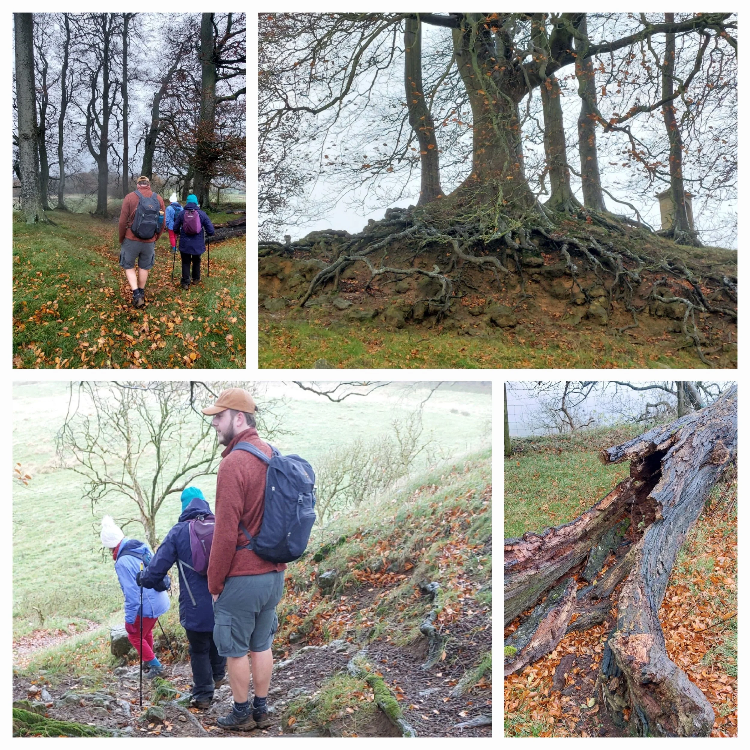
From Cromwell’s Seat there’s a narrow, tree-rooted path to navigate down, but the roots of the trees are exposed and absolutely beautiful.
Descent from Cromwell’s Clump
Beautiful Beech trees
View from the bottom of the Cromwell’s Clump
Making our way downhill
Once down the hills from Cromwell’s Seat we turn through a gate and take a right hand turn signposted one mile to Hailes Abbey along a stunning tree-lined path that still had some remaining Autumnal colour. The path is gently sloping downhill and is littered with leaves.
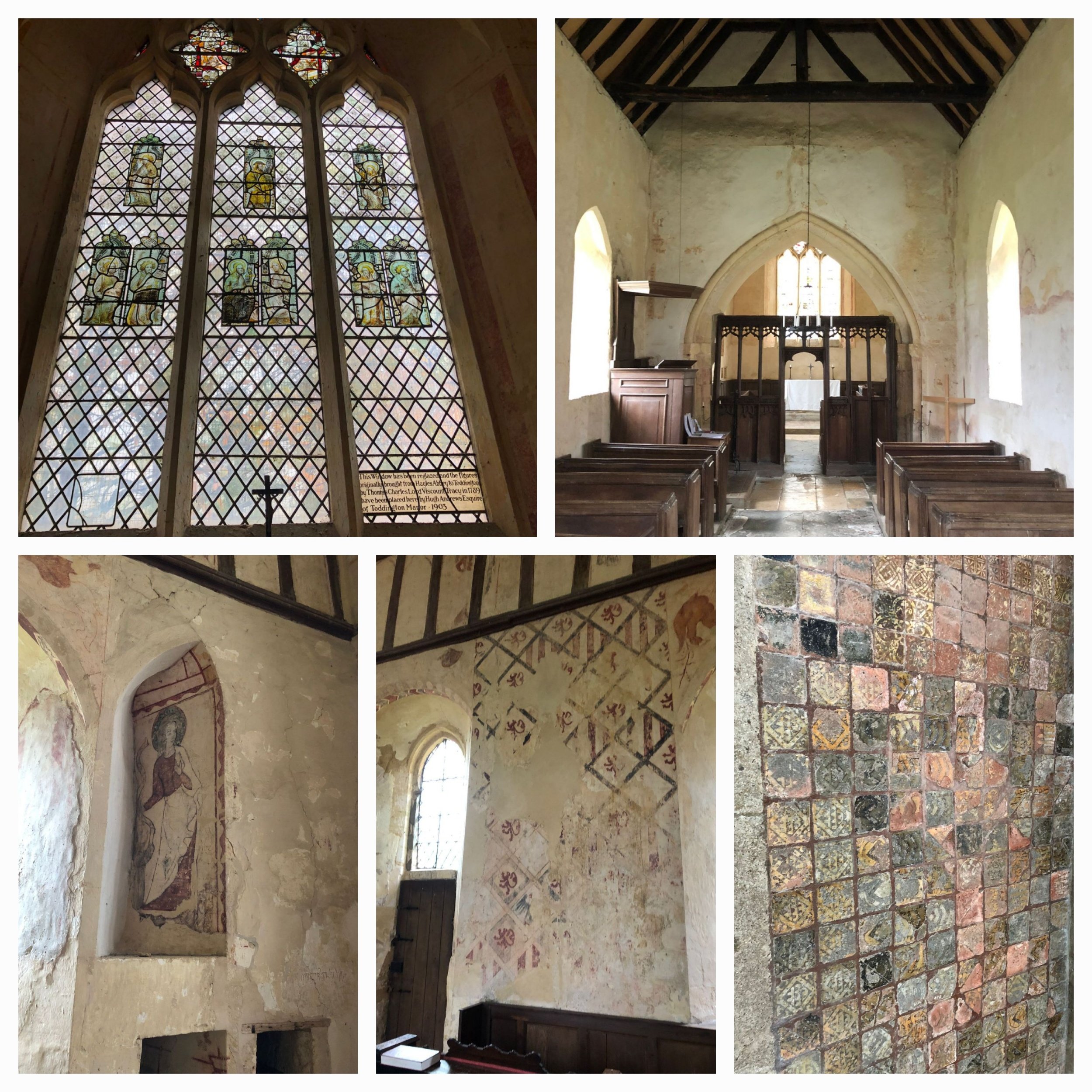
This path was easily the most enjoyable part of this whole Leg! Soon we reach Hayles Fruit Farm and continued on down the road to reach Hailes Church where we decided to stop for lunch, a low church wall surrounding the graveyard makes a handy rest for our weary legs. The church is Norman, stands opposite Hailes Abbey and pre-dates the Abbey. It has no tower, just a turret. It’s very unassuming from the outside, but has quite an interesting history and is well worth a visit not just for the fascinating 12th Century wall paintings which include a large painted figure of St Christopher, the patron saint of travellers. Some of our walkers took a visit into the church to shelter from the cold wind inside!
Medieval wall paintings, encaustic tiles by the altar and stained glass from The Abbey at Hailes church or ‘chapel’ as it’s known.
Hailes Chapel and some pretty Cotswoldy houses further down the path
Hailes Abbey was built in the 13th century and belonged to the Cistercian order. The Abbey was made famous by housing a holy relic - The Holy Blood of Hailes. This made Hailes Abbey one of the most important pilgrimage destinations in medieval England. I imagine the route we have taken today would have been walked by many, many pilgrims over the years! Chaucer even mentioned Hailes Abbey by name in The Canterbury Tales. Thanks to Henry the Eighth the Abbey was destroyed during the dissolution of the Monasteries and left in ruin. English Heritage are now responsible for its care.
The ruins of Hailes Abbey
Stream running along the gardens and back onto the off-road path
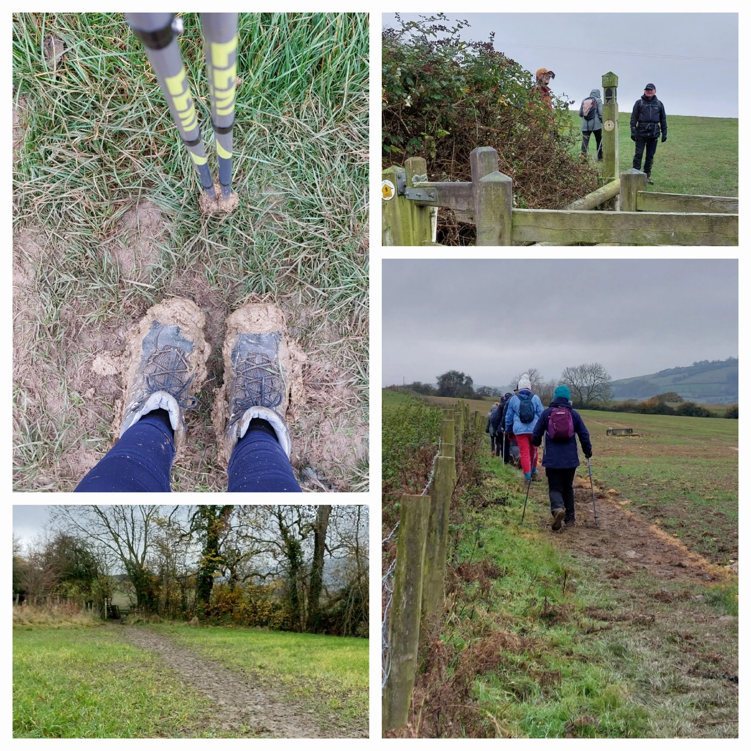
We take a left-turn past the Abbey and opposite the chapel and reach Salter’s Lane, after a short walk along the road we turn left off-road again on a slightly muddy track. The track then turns onto a path which the guide book labels as ‘a muddy track’ and boy was it muddy! Those of us with poles were mighty glad of them. Crossing (mud-skiing) the field on the muddy path we head through a gate onto the field edge which was just as, if not more muddy! We had a couple of slips and falls, one person was upright one minute and on the floor the next - and they were just standing still. Thankfully no injuries were sustained, just hurt pride maybe.
mud, mud, glorious mud
Slip-sliding away
We cross the brow of a hill, descend carefully down a muddy hill and reach a bridge across the muddiest section where a few very small streams cross each other.
After the bridge we continued carefully downhill to a stile and a track beyond.
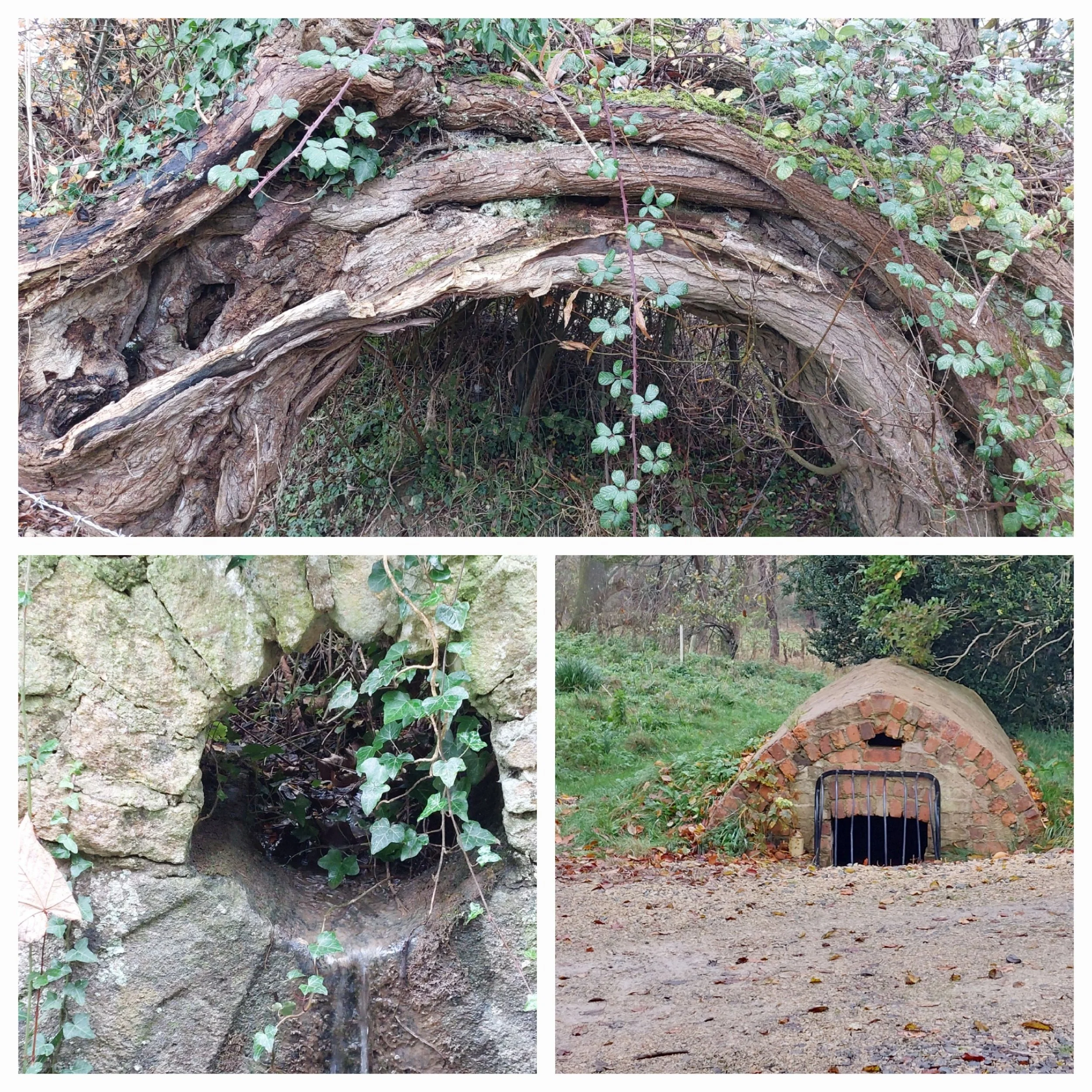
Curved Willow tree and other interesting shapes along Puck Pit Lane. Any ideas what the brick structure is or was?
Puck Pit Lane, Winchcombe
The track soon reaches the B4632 in Winchcombe and turns left along the road into Winchcombe itself. Winchcombe is an ancient Anglo-Saxon town that has centuries-old architecture, timbered inns, independent quality shops and tea rooms. Definitely worth returning for a proper visit!
The gently curving main street of Winchcombe and the Abbots House with it’s interesting angel -always look up!
Walking through the streets of Winchcombe we found our way back to the car park, rid ourselves of our muddy boots and although the facilities in the car park were very basic, they had hot water and we were glad they were there!
Eight Leg 3 finishers! I need to get better at selfies!


