The Cotswold Way Leg Four
Winchcombe to Cleeve Hill 6.38 miles (according to Strava)
Sunday 31st December, 10am.
Moving time: 2:25:34.
Elevation gain 1.195ft
14,318 steps.
8 Cotswold Way explorers
On the very last day of December 2023, nine walkers met in the blustery, rainy car park at the top of Cleeve Hill and set off to drive the six minutes to Winchcombe to pick up where we left off at the end of Leg Three. From the Back Lane car park we set off to find the High Street to pick up The Cotswold Way.
Winchcombe and getting started on the Cotswold Way in the rain.
Winchcombe has some gorgeous historic buildings and it’s a lot to take in as we walk along looking for Vineyard Street. Walking down Vineyard Street we can see Sudeley Castle (Grade 1 listed Castle which is the final resting place of Katharine Parr, the last surviving wife of King Henry VIII) in the distance, but the Cotswold Way path turns off beforehand. The first part of this stretch is relatively flat across fields on a well defined path, it comes out onto Corndean Lane, which is running with streams of water on both sides and then turns off the road at the entrance to Corndean Hall. For a little while we continue up alongside the driveway to the big house and the path then takes a turn left.
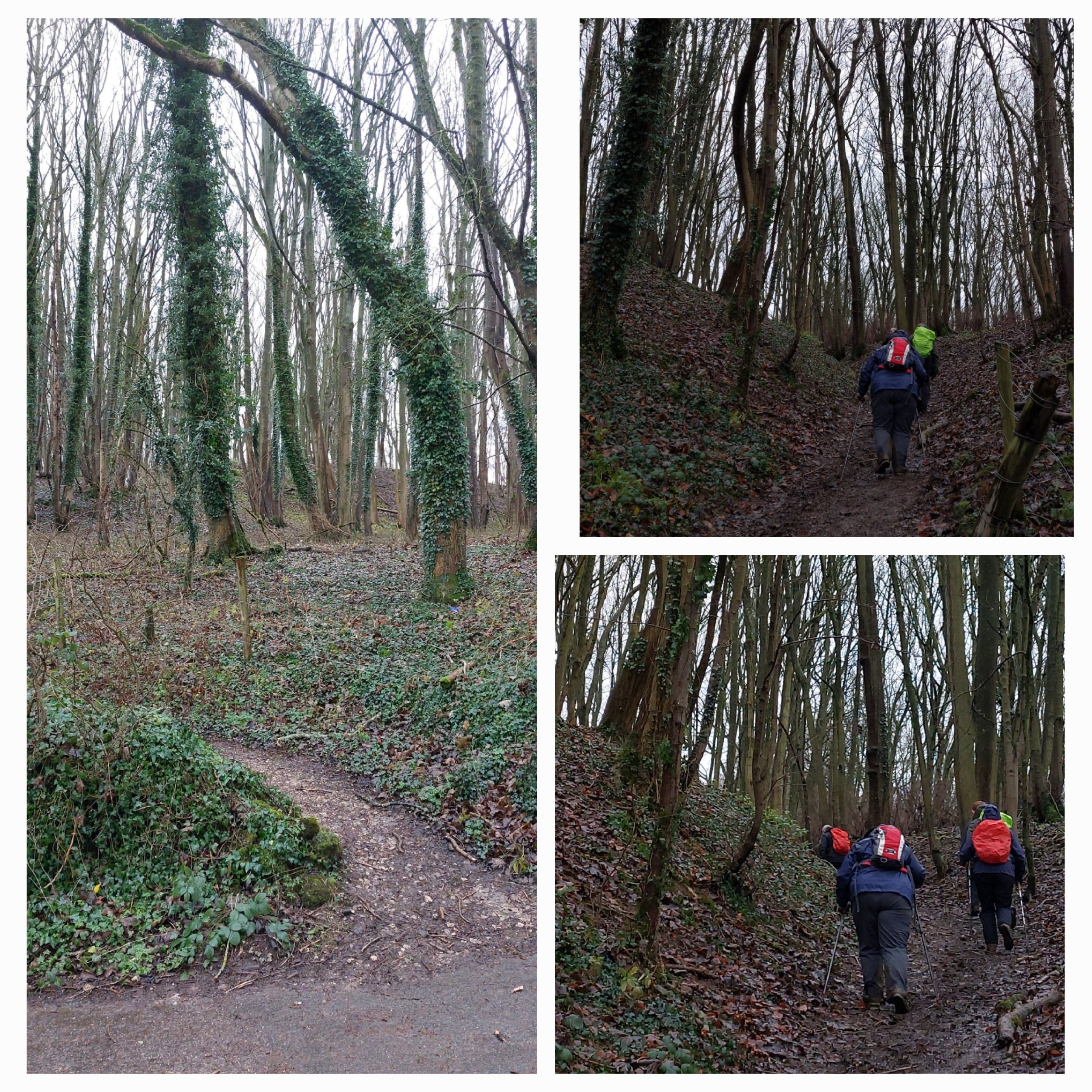
There’s a massive puddle beyond the stile we need to cross, with no way around it and so some creative ways of getting over the fence without getting our feet wet were needed! Some choose throwing themselves over the fence in a mounting a horse style and others choose carefully stepping along the bottom run of the fence around the stile! Hands were there to help hold poles and rucksacks and give words of encouragement. Then the first hill began!
The view back down towards the stile.
View from the top of the long hill.
Up, Up and up again. This hill was the gift that kept on giving! Pretty good views at the top, though probably stunning on a clearer day!
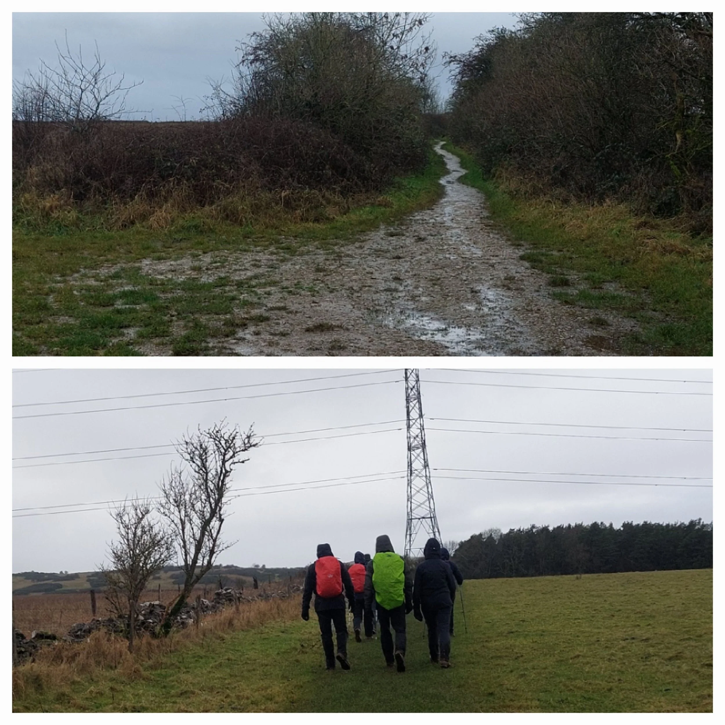
Once at the top we reach a minor road and cross it to continue to climb up through a small wooded area. Once out of the wood the path continues around the field edge, but many people go right and continue straight up across the field and cut the corner off despite a sign asking walkers to stay on the official path! The weather at this point was very blustery and raining so going the long way round was an extra ask, but we stuck to the official path! It was also uphill!
Keeping to the official path!
At the top of the hill, very blustery!
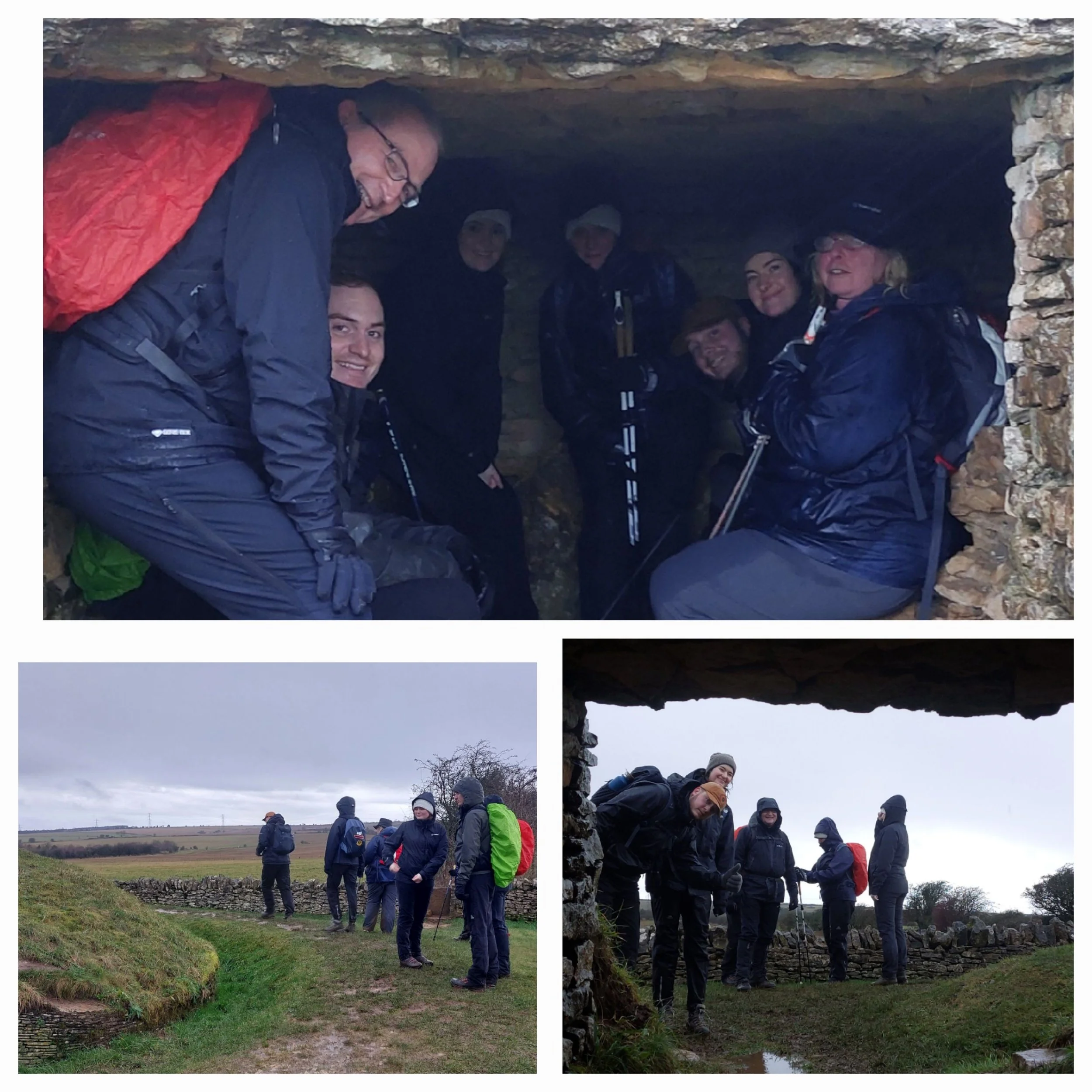
At the top of the hill, we find ourselves on a slightly more sheltered path and following a mossy dry stone wall until we reach Belas Knap Long Barrow. We‘re also following the Winchcombe Way (a 42 miles figure of eight trail centred on Winchcombe) and the Gustav Holst Way (a medium distance Ramblers route from Cranham to Wyck Rissington celebrating places that have some association with the English Composer).
Belas Knap is a Neolithic long barrow burial mound, probably built around 3000 BCE. One of the finest examples in the UK, it has been restored with a false entrance.
It was lovely and warm sheltered in the side of the long barrow. We stopped here for a quick snack before continuing on our way.
Continuing on the flat field edges alongside old dry stone walls, the rain seemed to be easing a little.
Here the path turned left onto a track and then right across a field, the rain has started again…
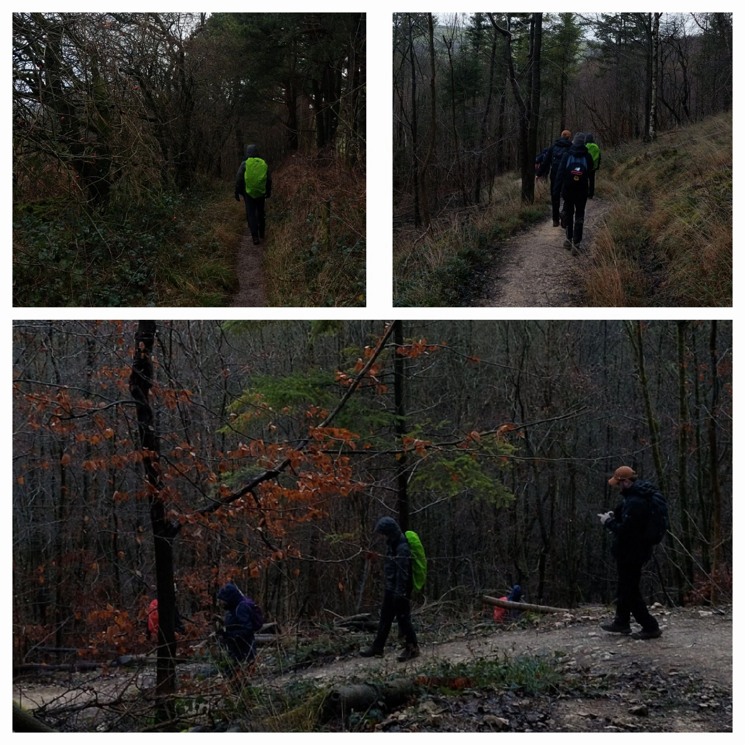
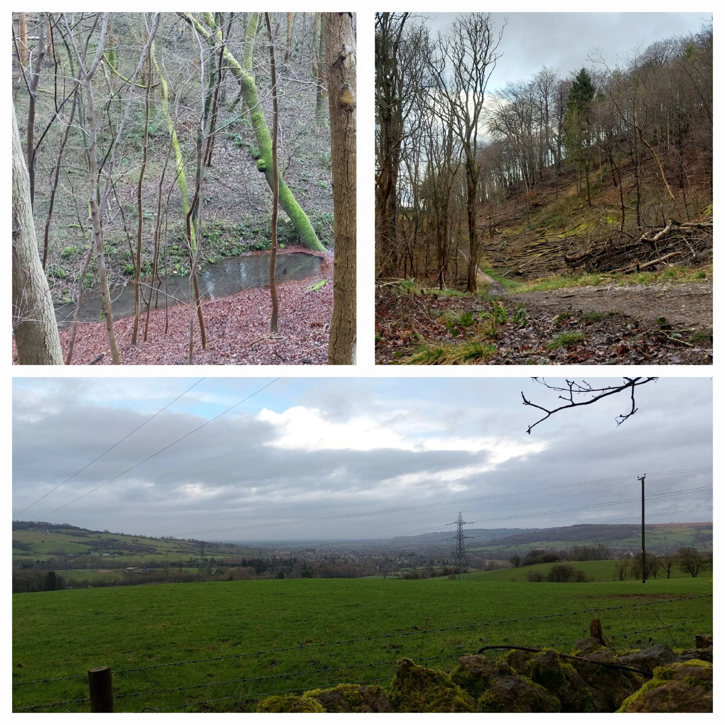
Here we begin our descent through a field into woodland, the path winds down and round and down again into Breakheart Plantation. The rain has eased off and we find a spot with fallen log we can perch on to stop for lunch.
Any ideas??
This was hanging off the bottom of a thin branch.
The woods were full of interesting fungi finds! Bracket Fungus and Jelly Ears!
There were also some ancient tree roots, which I find weirdly beautiful. History right there!
There was a pretty little stream running along the valley floor alongside the wood, which we could just about hear as our woodland soundtrack as the rain had now stopped! The fallen red beech leaves were a much needed touch of colour in the woodland carpet below all the trees. After our lunch stop, and before we all got cold, we headed out of the woodland uphill reaching the end of a minor road, the path turned left here and descended through another stretch of woodland before reaching a wooden footbridge, where we stopped to capture a photo! The skies are clearing!
Eight happy walkers! After the footbridge the path headed uphill again to a gate reaching a farm.
We continued through the first part of the farm uphill, past several barns of cattle and a massive bull! There is a permissive path that takes us around the main part of the farm and we reach Postlip B&B before heading down hill towards the impressive looking Postlip Hall. Note the blue skies!!
Heading down towards Postlip Hall, Cleeve Common behind.
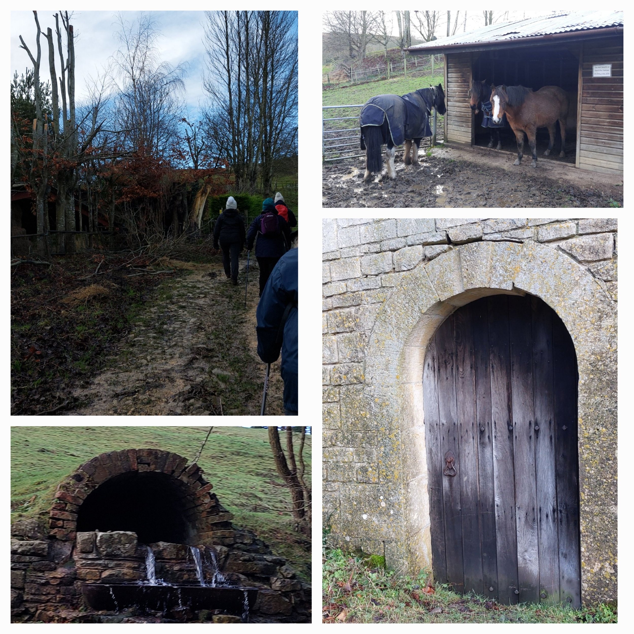
The path takes us around the side and behind the hall, passing horses - who took no notice of us at all! There was also a really good use of a natural spring in the hill! We had brief glimpses of the Hall as we passed behind it, including an impressive tree house!
The path climbs up away from Postlip Hall and towards Cleeve Common.
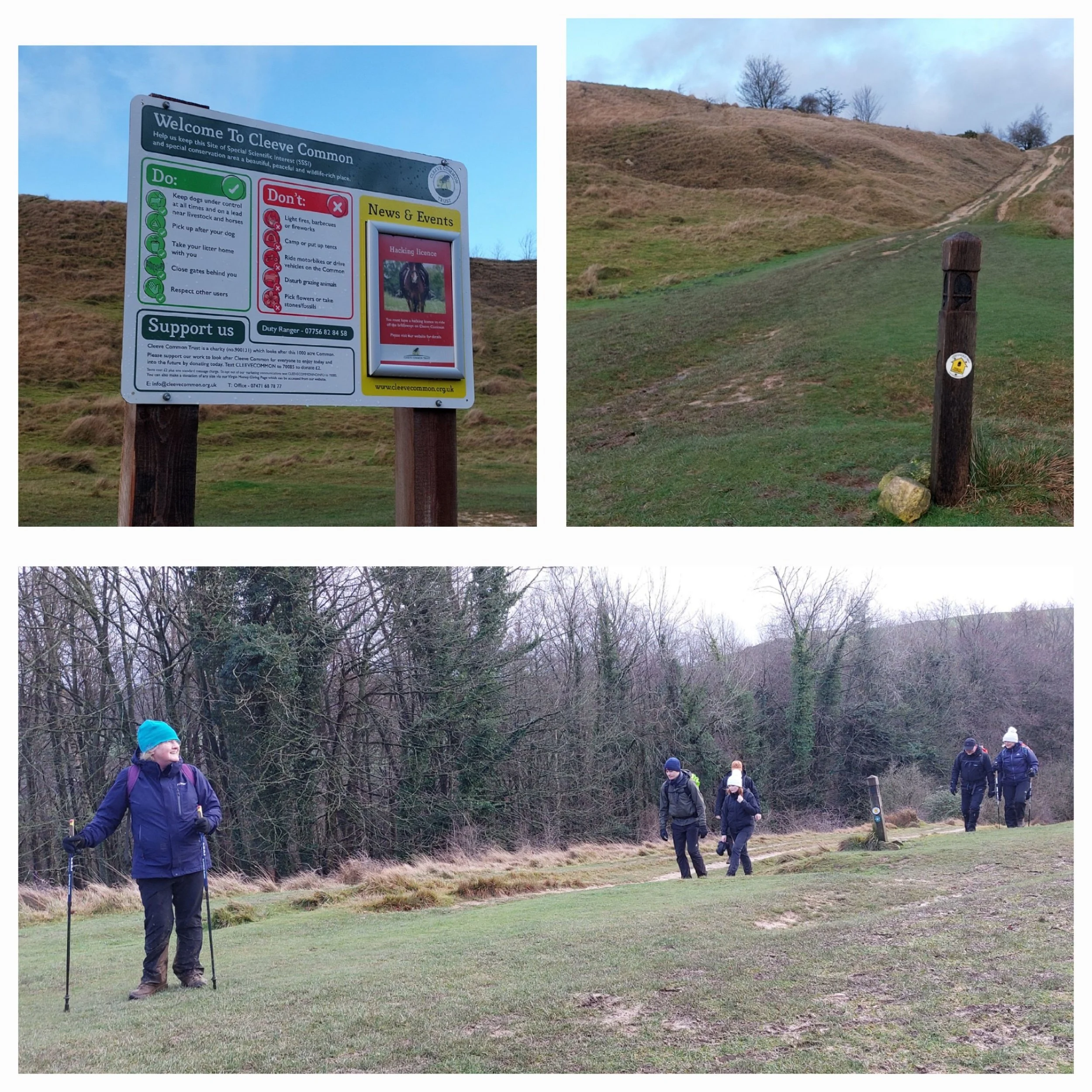
Cleeve Common is located high on the Cotswold Escarpment and boasts the highest point in the Cotswolds. (330m) The lumpy topography and high location have ensured that it has remained one of the largest areas of unimproved limestone grassland in the region. Cleeve Common is a SSSI (site of special scientific interest) and managed by a charitable trust. The common supports a wide variety of mammals, reptiles, butterflies and birds as well as using grazing cattle and sheep to manage the gorse, hawthorn and grasses that would otherwise overwhelm it.
There’s a really interesting variety of terrains across the common, but the Cotswold Way skirts around the edge on a well maintained wide path, so our last stretch is relatively easy to traverse, although it is a final uphill stint before we reach the car park near the golf club.
Shame they have to make common sense so explicit to some folk.
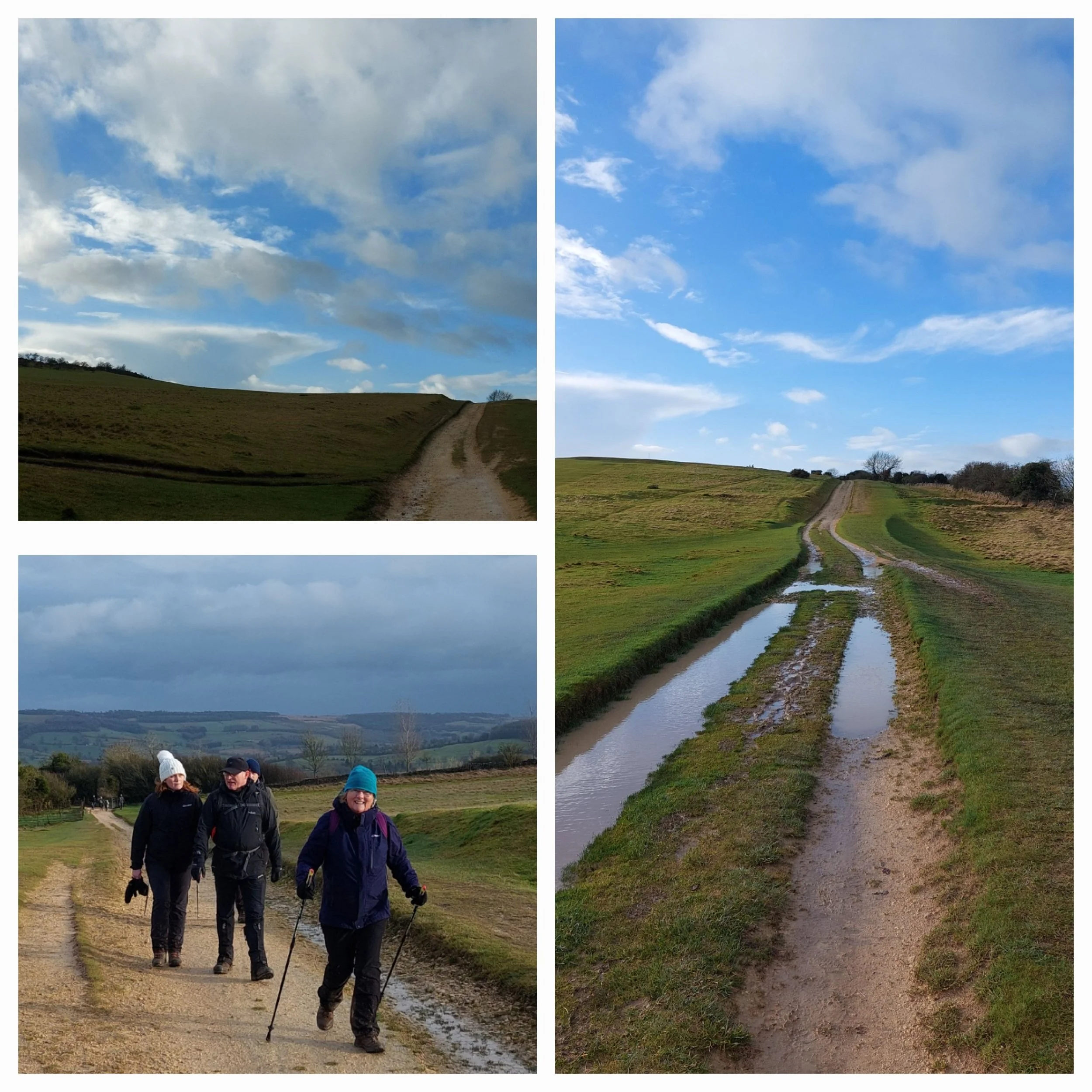
The skies remained blue, but the blustery wind had not abated! Our post-walk stretches completed in the gusty wind and we have sadly discovered The Cotswold Way Cafe is already closed, so it’s time to jump in our cars parked here and head back to Winchcombe to pick up the other cars and return home.
Why couldn’t it have been this gorgeous weather throughout our walk!
Sunny selfie at the end of the Fourth Leg of our Cotswold Way Challenge.


