The Cotswold Way: Leg Five
Cleeve Hill to Pegglesworth 7.04 miles (according to Strava)
Sunday 28th January, 10am.
Moving time: 2:35:53.
Elevation gain 1.125ft
16,402 steps.
First time the whole route has fitted on one map!
On the last Sunday in January, seven plucky walkers set out together to conquer the next section of The Cotswold Way Challenge! The weather was unbelievably set fair and we all met in a lay-by off the A436, near a small hamlet called Pegglesworth, to the South-East of Cheltenham. From there a couple of drivers ferried the walkers to the start location at the top of Cleeve Hill.
Ready for the off at the top of Cleeve Hill
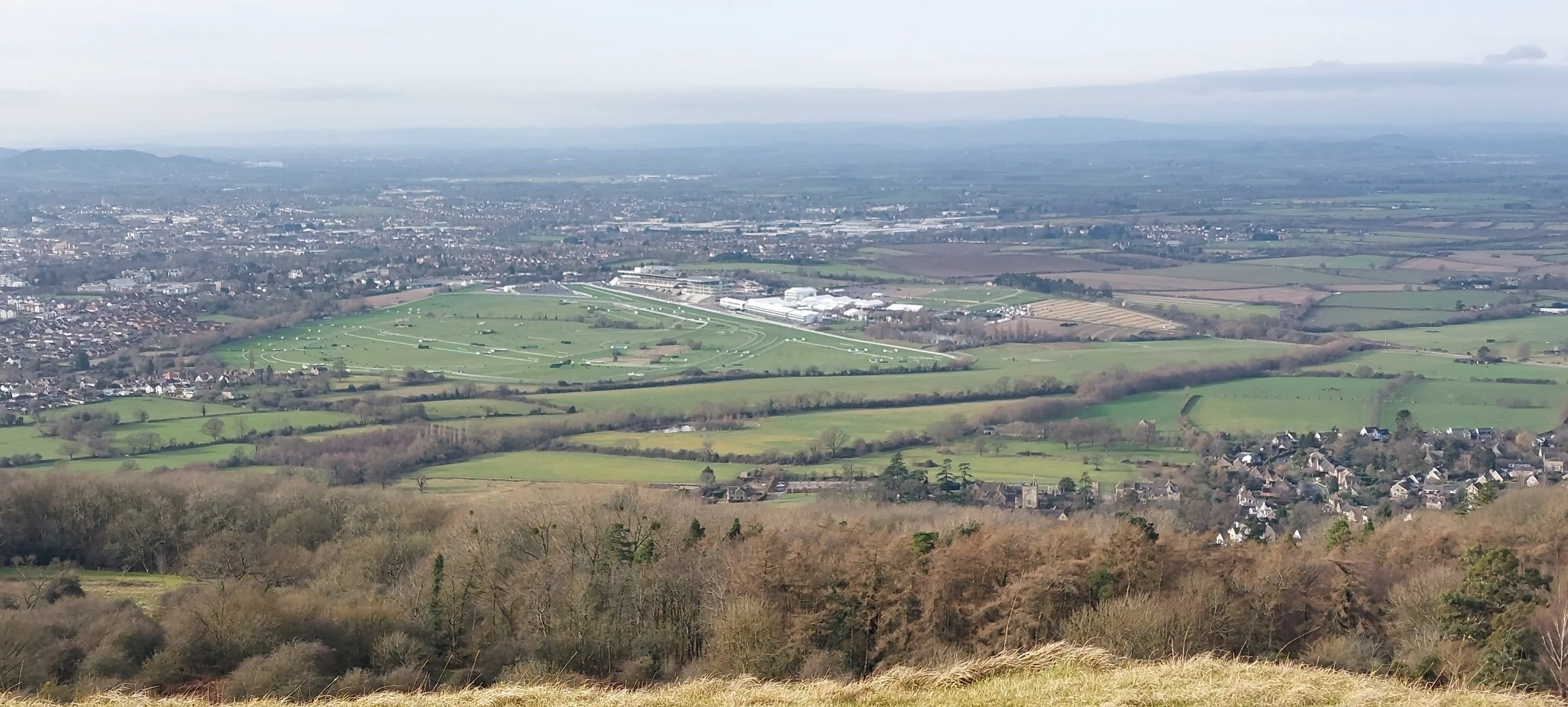
It was blasting a very strong, cold wind at the top of Cleeve Hill and complaints were made of brain-freeze as we walked along the edge of the Cotswold Escarpment and up a steep climb. We were then afforded fantastic views across to Bishop’s Cleeve, Prestbury and Cheltenham and spent some time stood at the edge soaking in the views (mostly trying to work out what we could see in the far distance)
Views on Cleeve Common, apparently it’s easy to get lost and miss where the National Trail goes across the common!
Looking out across to Bishop’s Cleeve
The path heads across the golf course, not many players today!
Views across to Cheltenham Race Course
Views!
Cleeve Common remains one of the largest areas of unimproved limestone grassland in the area. It’s a bit lumpy! It’s also a Site of Special Scientific Interest. Heading South we pass the highest point on the whole of the Cotswold Way Trail, the Trig point here stands at 317m and has breathtaking 360 degree views. We were all so happy the sun was shining and those views were clear for a change!
At the viewpoint and bagging a Trig with Norbert the Nordic Nomads mascot making his first appearance!
Nordic Walking up through an old Iron-Age hill fort - bit windy!
Still walking through Cleeve Common, with Winchcombe Way in the distance. The path undulates through the edge of the common and eventually we reach Prestbury Hill Nature Reserve
Through small strips of woodland and past Prestbury Hill Nature Reserve. Shortly after, we decide to stop for a snack break in a more sheltered wooded area, it’s a relief to be out of that noisy wind!
Norbert enjoying a quick snack break in a wooded area
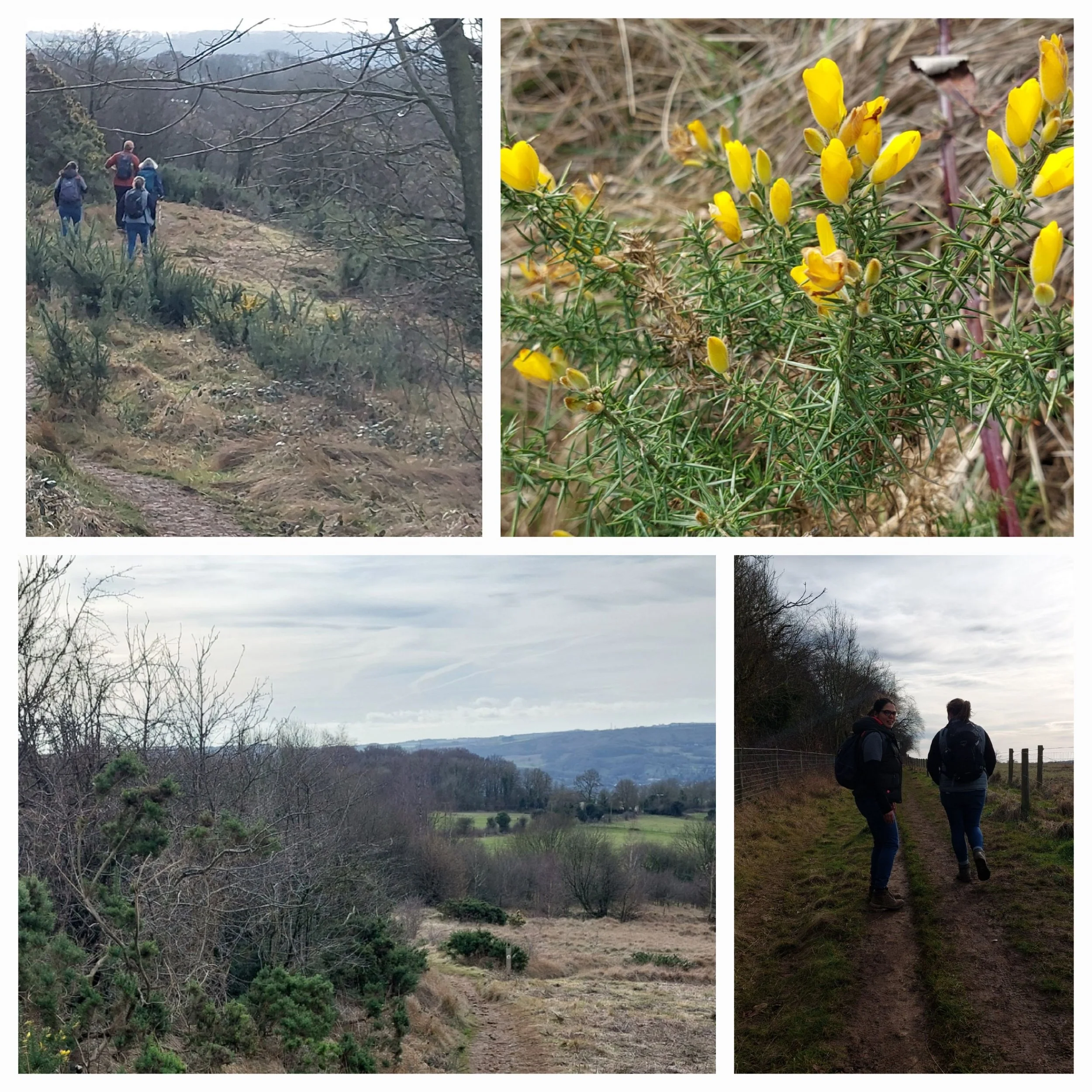
crunchy leaves!
Flowering gorse
Soon the path turn out onto quiet lanes and we pass a few other walkers. It’s heading towards lunch-time, so we start considering our lunchbreak options!
Tree lined roads and gorgeous stone walls, I love a good wall!
We pass a post as we go through a gate that has had its top carved, we think it looks like hares ears! We’re near Colgate Farm on the outskirts of Charlton Kings. Here the trail follows well-defined and maintained paths.
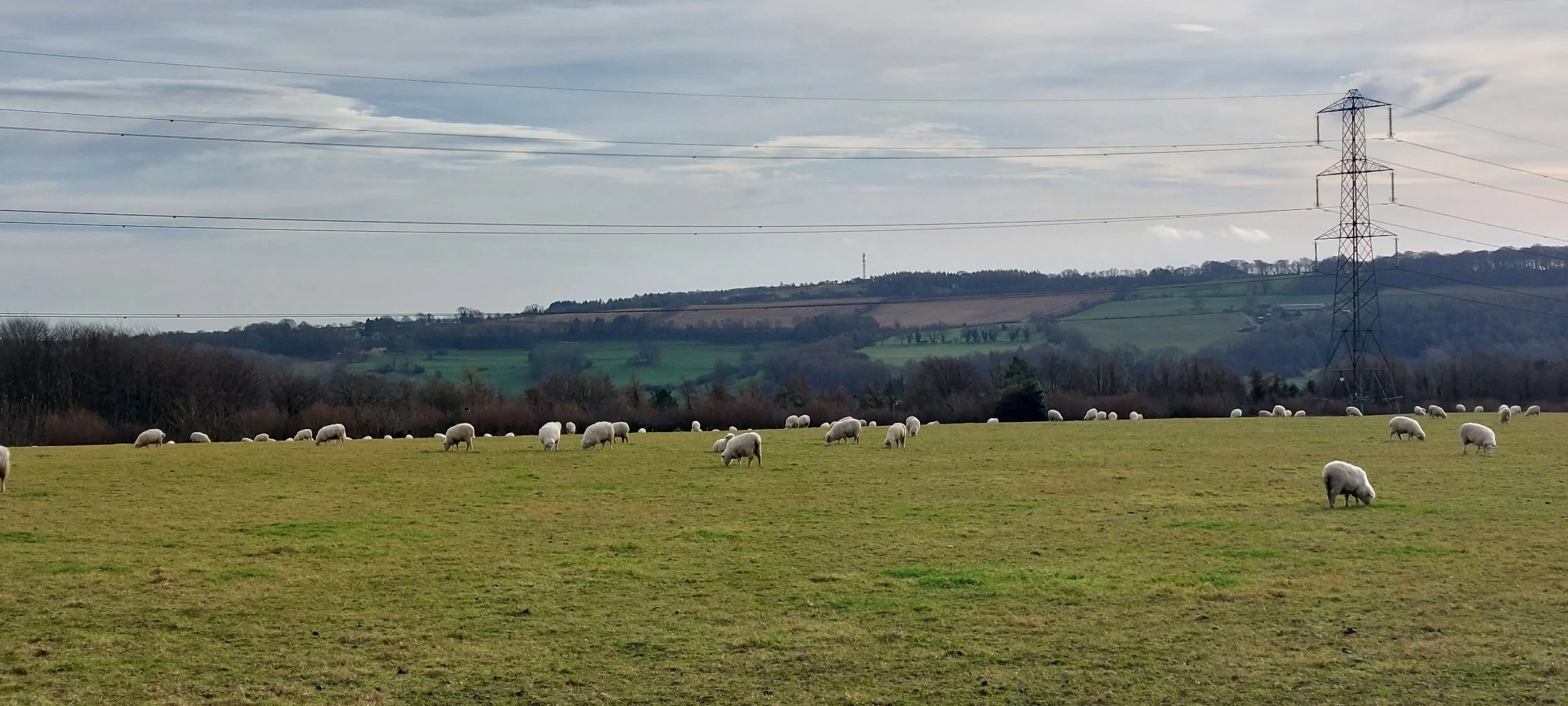
Sheep
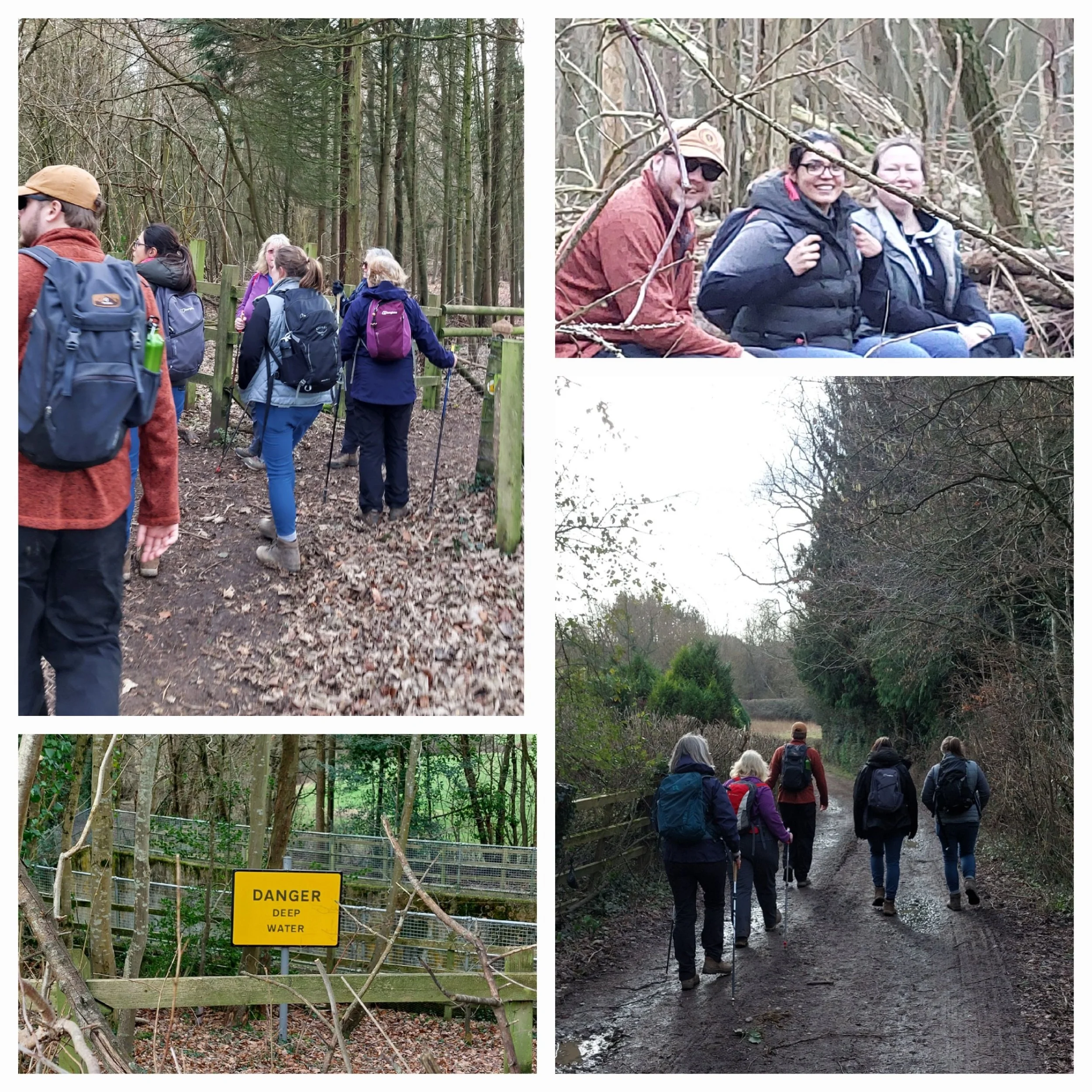
Debating the suitability of a potential lunch stop at the top entrance from the Cotswold Way into Dowdeswell Wood and Reservoir Nature Reserve. As you can see from the photos it was approved and some fallen trees provide seating for the duration of our packed lunches. Suitably replenished and before we got cold, we set off again continuing to follow the trail along the edge of the reserve. When we get to the bottom end of the reserve we pass and cross-over a cutting-like concrete structure with water in one side, but not the other It turns out it’s where they store excess water run-off from the River Chelt during flooding.
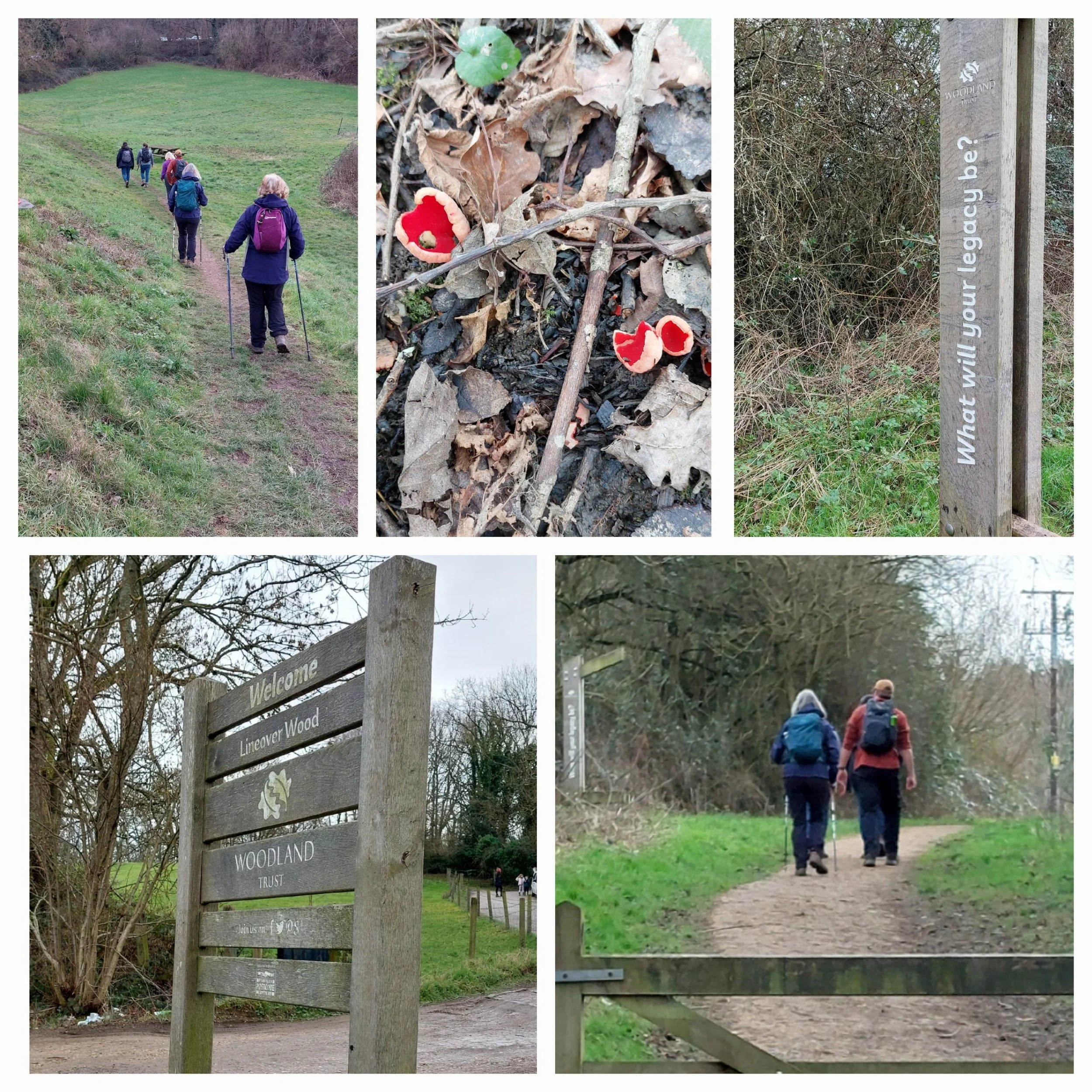
Here we cross over the A40 near the Koloshi Indian Restaurant and enjoy the last stretch of downhill! We enter Lineover Wood, which is owned and managed by the Woodland Trust and has well-maintained paths up the next hill! Lineover Wood is a 20.3 hectare biological Site of Special Scientific Interest. Here The Cotswold Way trail skirts the edge of the woodland and along the way we spot Scarlet Elf Cups (our second fungi spot of the day, we spotted King Alfreds Cakes earlier) This is a hill that just keeps on giving! Narrow paths, round corners and opening up into more open areas, it just keeps on going up! The great thing about Nordic Walking poles is fantastic support uphill! Selecting hill-gear and with a few breaks to bring our heart-rates down we soon reach what appears initially to be the top, actually nope, it’s not!
Up, up and more up! Just keep moving, just keep moving.
Finally at the top? Err, no! A little more effort required and we get there! Post walk stretches are completed by everyone in the sunshine, in the field before we reach the lay-by. What an awesome day we have had! Sunshine makes all the difference, especially in January! We set off from the lay-by with some walkers heading straight home and some drivers being returned to Cleeve Hill to find their cars.
Finally at the top of the hill! Happy walkers! Looking forward to the next leg!


