
The Cleveland Way 2024: Day Two
The Cleveland Way Nordic Walk, Tuesday 10th September 2024
Sutton Bank to Osmotherley
Official mileage: 12.62 miles
Strava mileage: 13.35 miles
Elevation gain:1,143 ft
Moving time: 4:09:51
Steps: 28,150

The Route today.
Today is my 30th Wedding Anniversary and so after exchanging cards and gifts whilst enjoying a cuppa, before getting up, time is marching on. Due to the blessed A170 road being shut we have to do a longer detour to get back to Sutton Bank Visitors Centre, but eventually I begin todays leg at 10.10am. Having not really paid much attention at the end of yesterdays walk I actually have no idea where I need to go and end up going back the other side of the road to re-orientate myself! Start point found I set off for the alleged ‘Finest view in England’ as claimed by James Herriot, local author.

It's an overcast day and when the wind blows it's cold! I'll admit it is a pretty good view, shame about the sun not shining! I pass a group of three American walkers here.

The path wanders through patches of sparse woodland (Garbutt Wood) and only occasionally do you get to see a view over the 300m high cliff. Here you can see Gormire Lake, this is at the foot of Whitestone Cliff surrounded by woodland. Beyond is a beautiful patchwork of farmland, woods and hills.

It's a bit drizzly, but only light, the cap is more for the wind! The rowan trees are full of bright red berries along here. I'm following the narrow path along the cliff edge which starts to descend slowly towards Boltby Scar and the landscape surrounding me changes more to grasses, Bilberry bushes and single trees. This was the site of an Iron Age Hill Fort.

It’s a bit blowy up here!
I didn’t dare let Norbert sit on anything for a photo today!
The drystone wall adds a bit of protection from the gusty wind, but soon I'm thrown back out into the wind on an exposed hillside, passing the now derelict High Barn which sat in between two small areas of woodland. It had great views! Continuing across more exposed grassy hillside, I reach a gate and cross a road (nearly got run over, as it's on a blind bend!) This is Sneck Yate Bank.

The path now takes a lovely wander through some native woodland before emerging onto a minor road.

Following the road up to the right it leads up through High Paradise Farm, this is a well-known spot to walkers with its accommodation, campsite and café (sadly not open today). Imagine if you are a through-walker who is carrying a tent, it would be lovely to have a picnic bench, your own fire-pit and some protection from the weather on your pitch. It looks like there are other communal facilities for guests too. I loved the mossy wall!

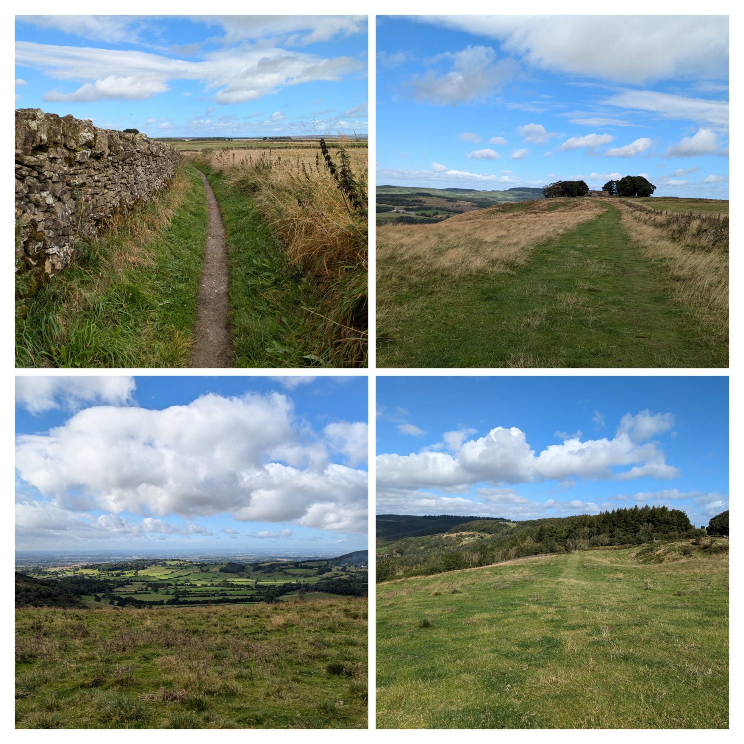
After High Paradise Farm the path turns left onto the Hambleton Drove Road - an ancient upland thoroughfare with a long history. Here there is not only the Cleveland Way Path (narrow in places), but also a parallel cycle path called the Paradise Trail. From this path you can also access Boltby Forest

After the forest-y section the path changes to run through more open moorland (Little Moor) with more stretches of heather and a drystone wall to give a bit more protection from the buffeting wind! It's along this stretch that I see Clara (campervan) in the distance, which means it's lunchtime! Steve has found his way up through some gates! The kettle is on and I get some relief from the wind by sitting down in the sun by the drystone wall to eat my lunch.

Our official 30th Wedding Anniversary selfie!

Five miles to Osmotherley! Over halfway on todays walk. Gorgeous scenery stretching away in front of me, with clearly marked paths (love the little reassuring acorns along the route)

Views, views, views! Apparently on a good clear day you can see across to the distant Pennines.

It turns out that this pile of rocks is more than likely the site of an old burial mound as I discover from my guidebook on a later section.

Sheep are an ever present feature, along with the heather. Getting closer to todays destination. I think this is Thimbleby Moor, just before Square Corner.

The path turns left after Square Corner and goes through bracken, it also becomes a narrow stone-paved path, which is tricky to navigate with poles especially as it descends, I'm so glad the weather is dry. Reaching a wooded dale I cross over a small stream on a footbridge. This leads past a reservoir (no swimming, again) and uphill past a house called Oak Dale where there are many game birds and feeding stations dotted around. Crossing another bridge the path continues uphill through woodland.

Once out of the woods, I turn left down a minor road (past some houses with interesting brick built walls (wish I had taken a photo) and the path turns right up a track. Then I have to literally squeeze me and my rucksack through a fairly tall squeeze stile leading down towards Whitehouse Farm and then down towards another footbridge. After the stream there is a wooded slope to be climbed with the aid of many, many steps (I didn't count)

The many steps lead to a beautifully paved path between fences before squeezing myself through another stile. Following the path between houses and a narrow alleyway and I find myself in the village of Osmotherley!

We are camping in a campsite on the edge of the village and so I still have to walk to there, past the market cross and up past the Village Store. I also pass this sign about a pinfold (never heard of it) It's apparently a square enclosure with a single narrow entrance which is a relic of medieval village administration, it was designed to hold stray animals until their owners paid a fine for their release. The one in Osmotherley is by all accounts a fine example, well preserved and Grade II listed!
I loved this memorial bench, which I passed on the way to the campsite.